Upper Macleay Flood Study
Summary
Kempsey Shire Council has engaged specialist flood consultants WMAwater to investigate the flood behaviour in the Upper Macleay River catchment, defining areas of flood risk.
This project addresses the existing and future flood problems within the Upper Macleay River catchment. This project has been titled the Upper Macleay Rivers Flood Study.
Background
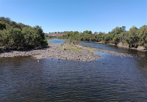
The Macleay River is located withing the Kempsey Shire Council area. The total catchment area is 10,536 km2. During heavy rain, the capacity of the river systems to convey runoff can be exceeded, resulting in flow over the floodplain, across roads and through private properties. This flooding has the potential to cut off road access to properties and, in urbanised areas, cause major damage to property and risk to life. The most notable floods in this catchment occurred in 1949, 1950, 1963, 2001,2011 and 2013.
As part of the study, existing data along with newly collected information is being compiled to support modelling aimed at determining the extent and nature of potential flooding in the catchment.
Progress to date
A draft of the Upper Macleay River Flood Study is expected to be placed on public exhibition in 2025 through Your Say Macleay.
How you can get involved
We encourage everyone to provide information on water levels and behaviour of past flood events. The local knowledge and personal experiences of residents and business operators are an important source of information. Questions about the Study can be directed to the following contacts at Council or WMAwater:
Kempsey Shire Council, Tel: Email: grant.dennis@kempsey.nsw.gov.au
Monique Retallick, WMAwater, Tel: Email: retallick@wmawater.com.au